| This Week’s Topic… | |||

Best viewed in
Back to
|
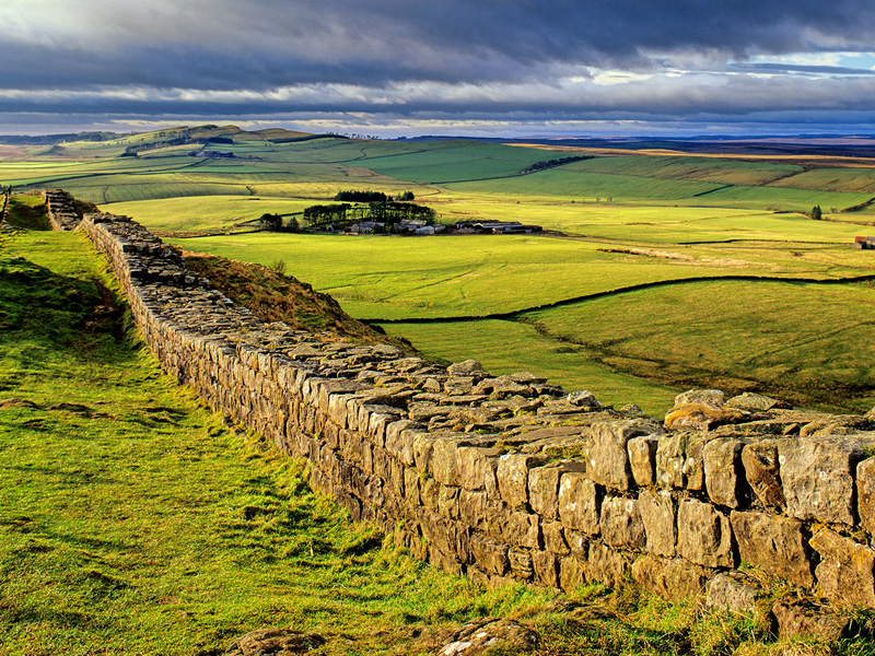
Scotland’s Great Walls
Most people are familiar with Hadrian’s Wall, the stone and turf fortification built by the Roman Empire across the width of modern-day England. But Hadrian’s wall was the second of three such fortifications built across Great Britain, the first being Gask Ridge and the last the Antonine Wall. All three were built to prevent military raids by the Pictish tribes (ancient inhabitants of Scotland) to the north, to improve economic stability and provide peaceful conditions in the Roman province of Britannia to the south, and to mark physically the frontier of the Empire. Hadrian's Wall is the best known of the three because its physical presence remains most evident today. Gask Ridge refers to the 10 miles ridge of land to the north of the River Earn in Perthshire. In Scottish Gaelic, a gasg is a projecting tail or strip of land. In the early 20th century, a line of Roman signal-towers (or watch-towers) was discovered along this ridge between the Roman forts of Strageath and Bertha. The Gask Ridge system was constructed sometime between 70 and 80 CE. Although the Gask Ridge was not a wall, it may be Rome's earliest fortified land frontier. The fortifications approximately follow the boundary between Scotland's fertile Lowlands and mountainous Highlands, in Perth and Kinross and Angus. The later Hadrian's Wall and Antonine Wall were further south, and, by taking advantage of the heavily indented coastline of Great Britain, were considerably shorter.
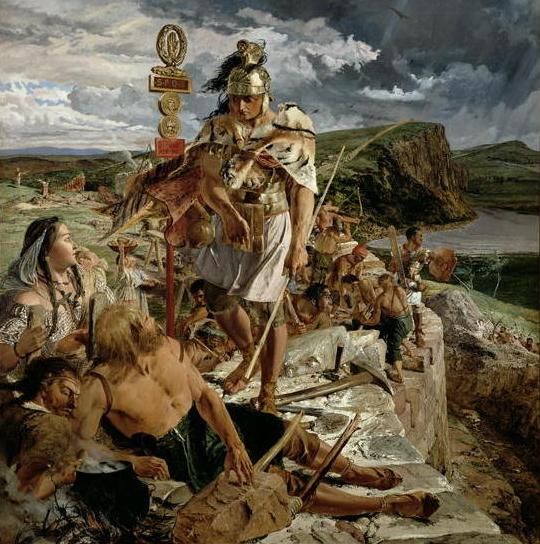
Construction of the Antonine Wall began in CE 142, during the reign of Antoninus Pius, by Quintus Lollius Urbicus and was completed in 144. The wall stretches 37 miles from Old Kilpatrick in West Dunbartonshire on the Firth of Clyde to Bo'ness, Falkirk, on the Firth of Forth. The wall was intended to replace Hadrian's Wall 160 km (100 miles) to the south, as the frontier of Britannia, but while the Romans did establish temporary forts and camps north of the wall, they did not conquer the Caledonians, and the Antonine Wall suffered many attacks. The Romans called the land north of the wall Caledonia, though in some contexts the term may mean the area north of Hadrian's Wall. The wall was abandoned after only twenty years, when the Roman legions withdrew to Hadrian's Wall in 164, and over time reached an accommodation with the Brythonic tribes of the area who they fostered as the buffer states which would later become "The Old North". |
||